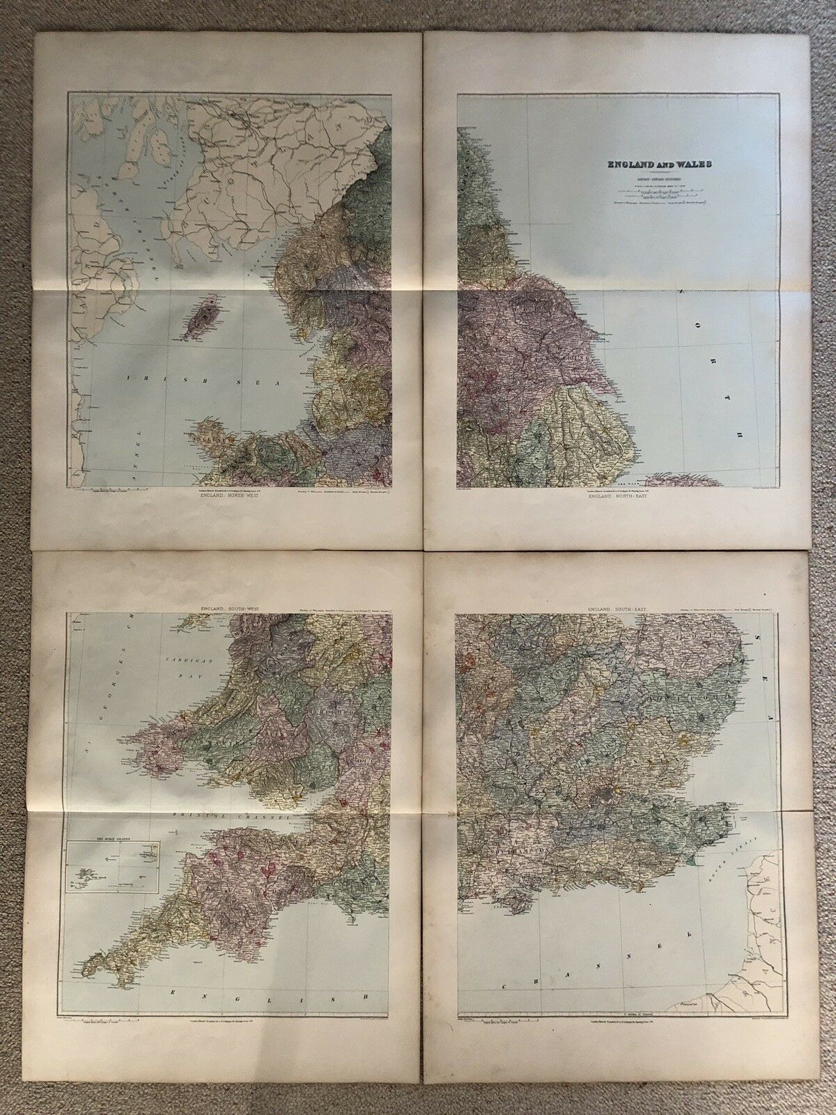
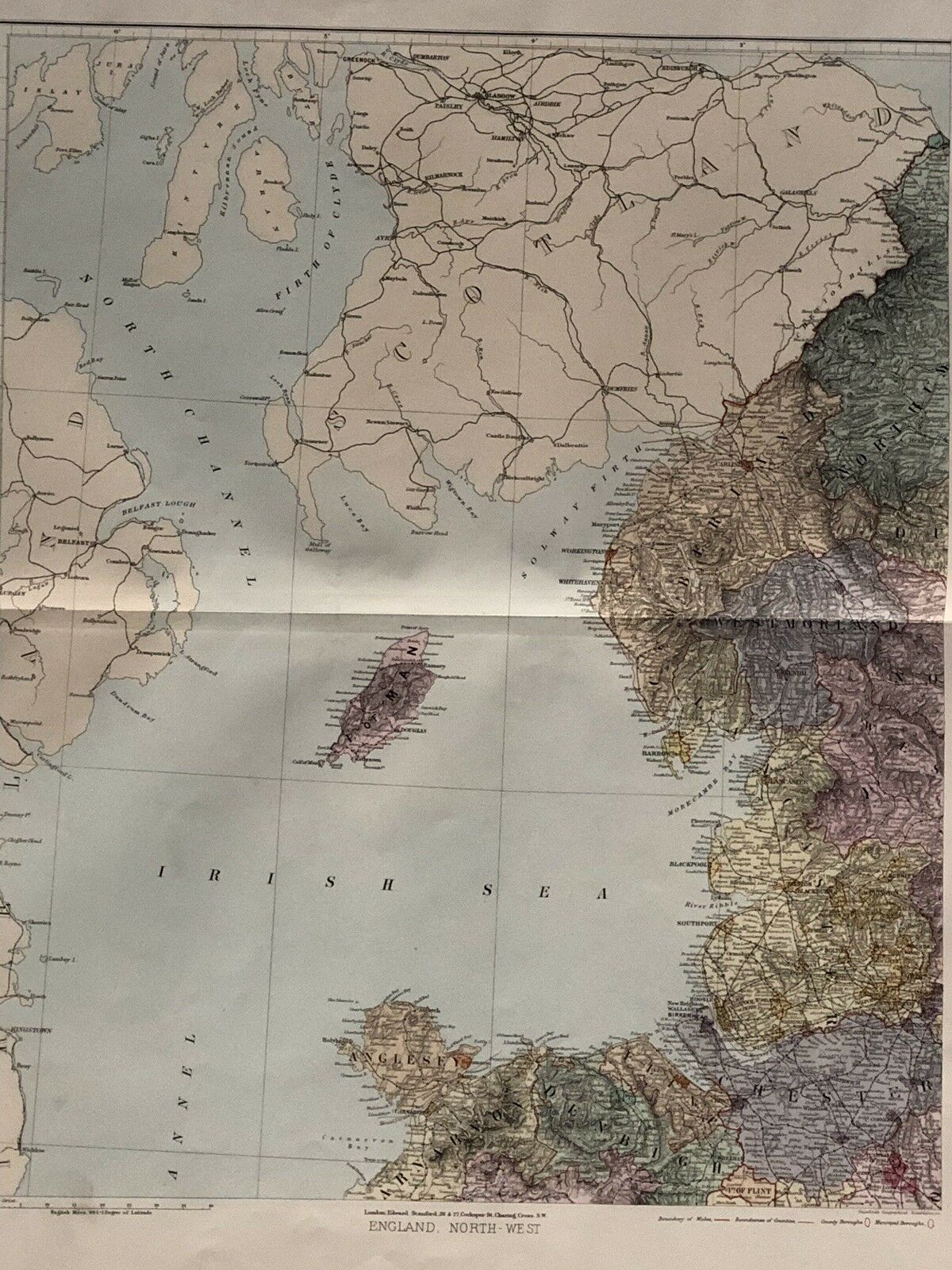
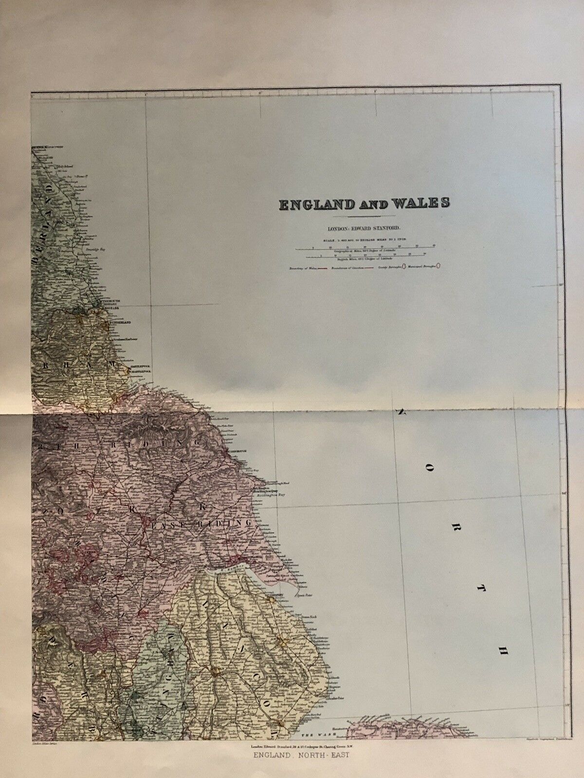
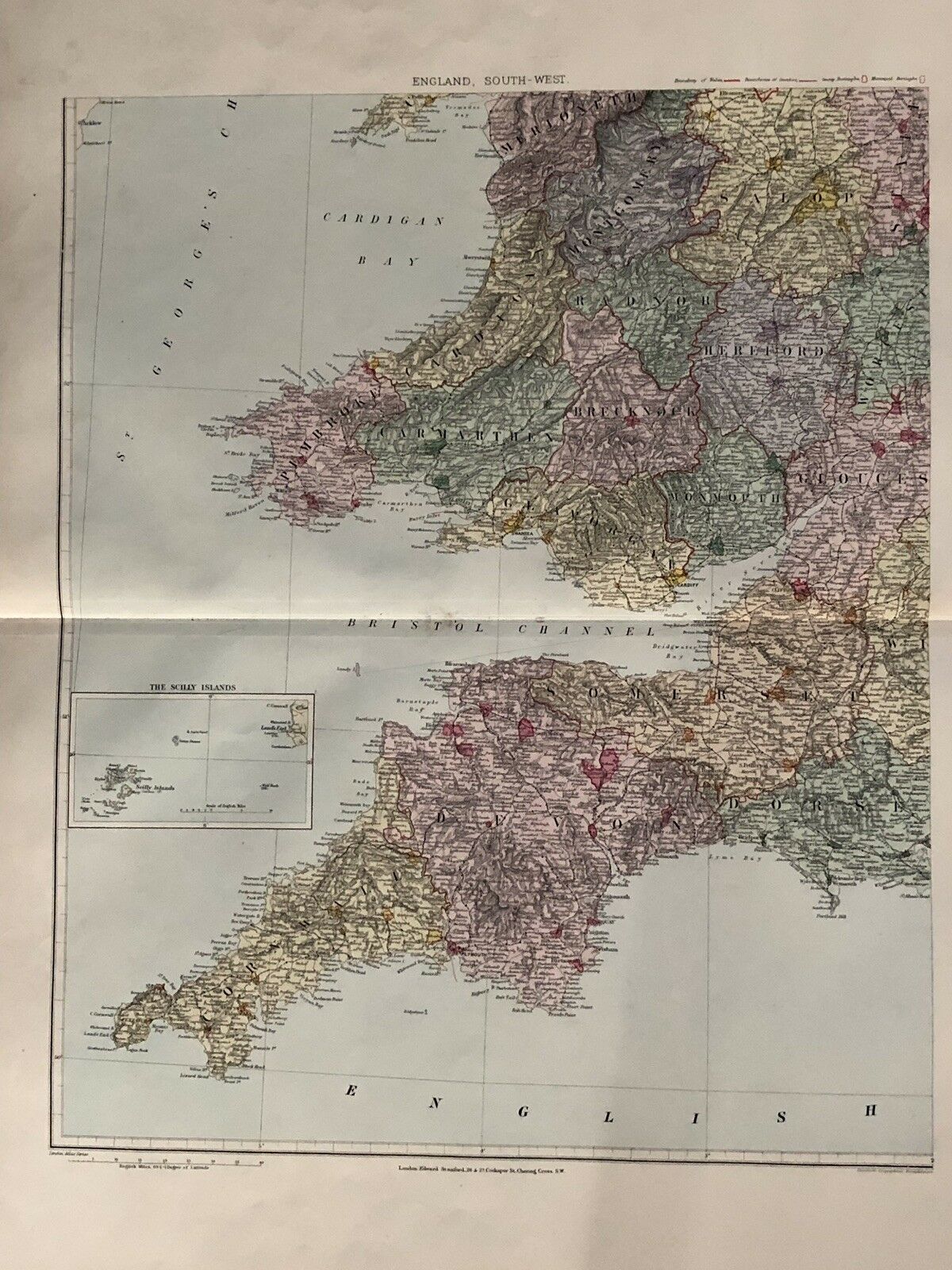
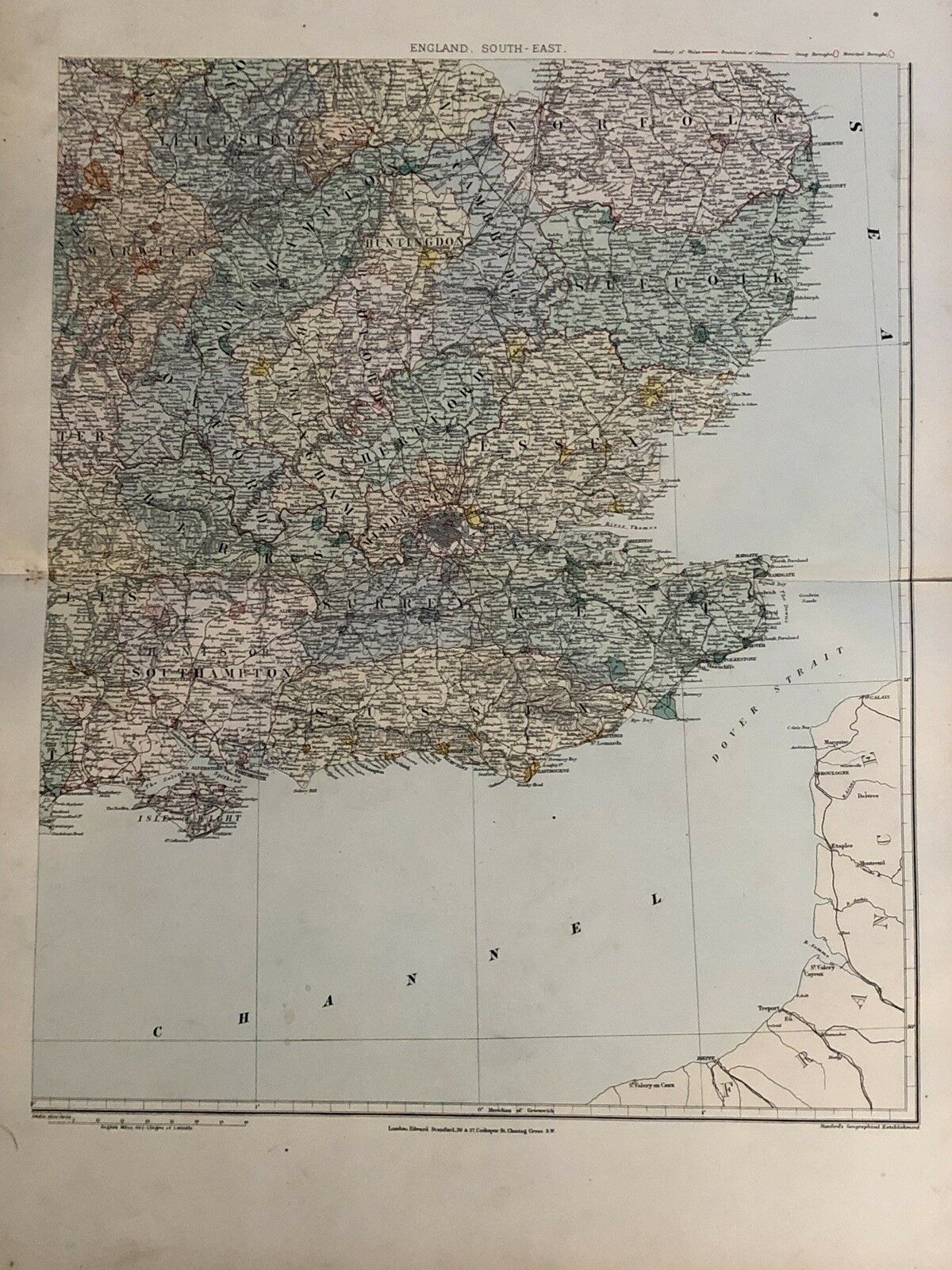
This large colour map is from Stanford's London Atlas of Universal Geography, Folio Edition, second edition revised and enlarged, by Edward Stanford, Geographer to Her Majesty, London, 1894. Stanford's London Atlas of Universal Geography was the premier atlas in its day and was the successor to Arrowsmith's famous London Atlas. The maps were well regarded for the latest discoveries and detail. This map is printed on four sheets. Each sheet is printed on one side only and measures 75 cm x 56 cm or 29" x 22". The combined size when put together is 150 cm x 112 cm x 58" x 44". If you have any questions or would like to see more photographs then please do not hesitate to ask. This interesting map is an original antique which is 125 years old.